One of the early branch lines to be built in New England can be found crossing the following communities of Norton, Mansfield, and Taunton, Massachusetts. The Taunton Branch Railroad opened this line back in 1836. The branch would later become part of a direct route for trains traveling between New Bedford and Framingham. Today, only 1.5 miles of track are still in use on this little over 9 mile branch.
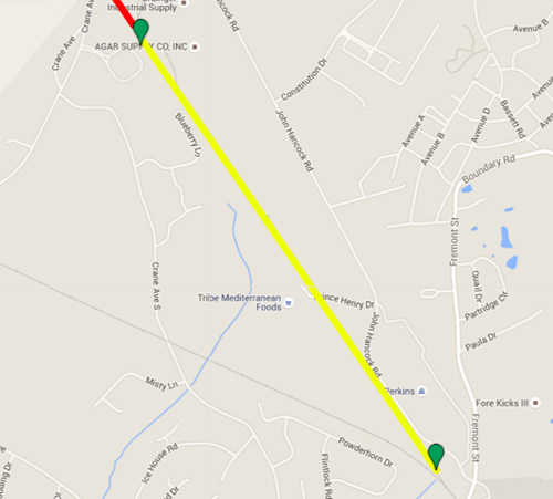
The above map shows the active portion on the line (Yellow) before it makes its turn into Myles Standish Industrial Park in Taunton, MA.
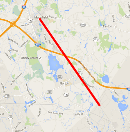 The above map shows the abandoned rail line running through Taunton, Norton, and Mansfield.
Taunton Branch Railroad | Taunton to East Norton Depot
The 1.5 miles of track provide service to Myles Standish Industrial Park located in Taunton, MA. Looking at the map below, you can see that the line takes a hard right turn. The 8.5 miles between Taunton and Mansfield were abandoned back in 1965. The track was removed and you can see a clear path in most locations.
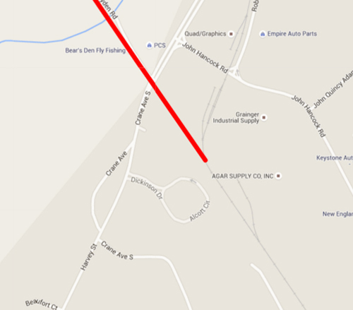 The above map shows the spur line going into the Myles Standish Industrial Park – Taunton, MA
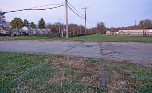
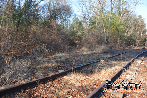 The above photo shows the spur line going into the Myles Standish Industrial Park. If you look at the center of the photo, you can see the path where the Taunton Branch Railroad continued north.
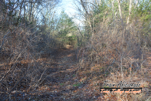 The above photo shows the narrow path heading north to Crane Ave South in Taunton, MA
The Branch continued to run straight, crossing Crane Ave along Robert W Boyden Road for a little bit. Once in Norton, the line crosses Crane Street, Plain Street, and East Main Street (Route 123).
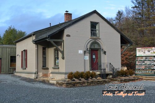
East Norton Railroad Depot
Located right at East Main Street, you would find the East Norton Railroad Depot. The current structure replaced the original structure in 1853. The depot is currently owned by the Old Station Landscape Supply Company. The depot remained pretty active until the early 1950s and had a few famous visitors including Congressman and future president Abraham Lincoln and abolitionist Frederick Douglass.

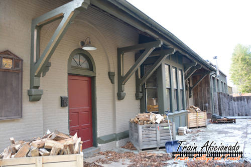
Taunton Branch Railroad | East Norton Depot to Mansfield
Once past the depot, the line crosses North Washington Street a few times before crossing Cobb Street in Taunton. You can see a small gap in the treeline where it crossed I-495. I believe this section of highway was constructed after the branch was abandoned, therefore there is no overpass or underpass for the right-of-way.
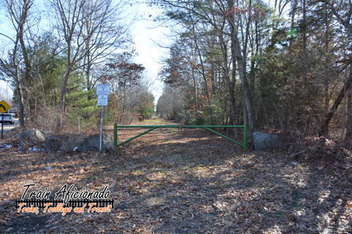
The above photo shows the right-of-way near North Washington Street in Norton.
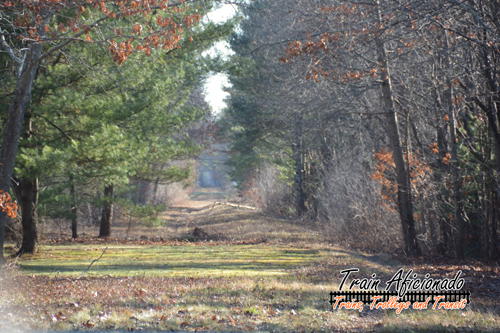 The above photo shows the other direction at North Washington Street in Norton, MA.
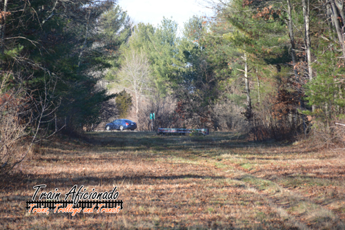 The above photo was taken near Cobb Street in Taunton. The blue car is on I-495 heading northbound.
Once on the other side of I-495, the right-of-way continues running along the east side of Mansfield Municipal Airport. Once the right-of-way crosses Fruit Street in Mansfield, it is paved and becomes the WWII Veterans Memorial Trail running a mile and half into downtown Mansfield. Once in the downtown area, I believe the right-of-way path is now Old Colony Road.
Overview
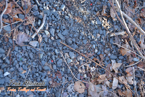
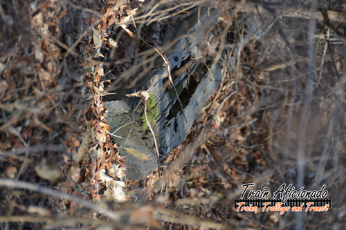
The Norton stretch of the right-of-way was elevated in most areas and appears to be wide enough for two tracks. Looking at the overall branch, it seems to run in a straight line and is pretty flat; perfect for a bike trail. I was able to walk some of the right-of-way, and I got to see some track ballast and a few railroad ties off to the sides. The remaining 1.5 miles of the right-of-way is used to give access to a few spur lines into the Myles Standish Industrial Park.
Rails-To-Trails Norton
A committee has been formed to extend the WWII Veterans Memorial Trail into Norton MA. This would extend the trail over 4 more miles. The committee has been working on getting this done since the 1990s. – Read more
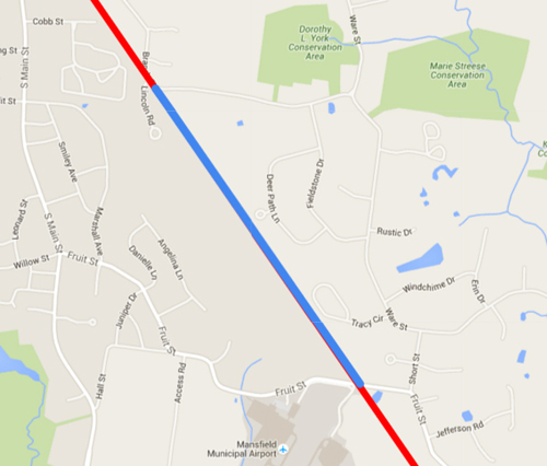 The above map in blue shows the current bike trail.
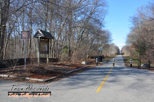 The above photo shows the trailhead near Fruit Street in Norton, MA.
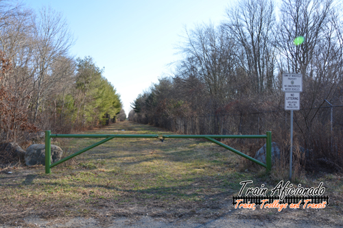 The above photo shows the right-of-way after crossing Fruit Street in Norton, MA (Heading towards I-495).
