Looking for abandoned railroads just got a lot easier
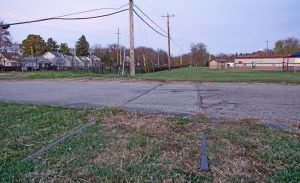
While doing research on the many railroad lines around New England, I have found that a whole bunch of them were abandoned around the 1930s. That means these right of ways been untouched for nearly 80 years. Some are easier to find because the rails and wooden ties are still in place, while others are harder to find if the railroad tracks are removed at some point, leaving just a narrow path in the woods.
Topographic Maps
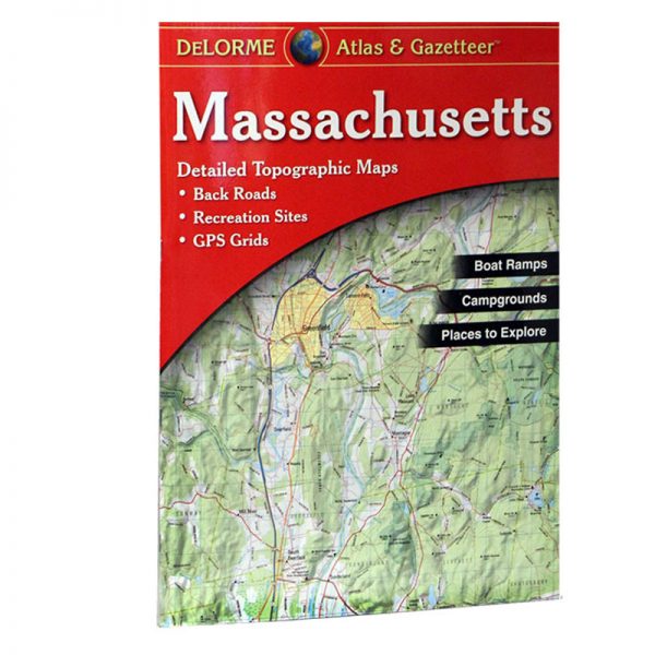
As a kid growing up I got the topographic map book for Massachusetts. The topographic maps are super detailed, showing current and often times abandoned right of ways. There would be a map directory, for instance it would have a map of Massachusetts broken down by section and each section would have a page number. Then you would go to the corresponding page to see a super detailed map of that area.
Google and Bing Maps
The 21st century has brought us some new tools for searching for abandoned right of ways. Today we can explore areas without leaving our house. Both Google Maps and Bing Maps feature tools that allow you to see the area via a satellite image and you can use the street level feature to see everything as if you was driving down the road. Not only is this a great tool for searching for abandoned right of ways, this is also a great way to find spots to railfan along active right of ways.

